
Specifications
- BRAND: Garmin
- MODEL NAME: Garmin 010-02296-00
- VEHICLE SERVICE TYPE: Motorcycle
- SCREEN SIZE:5 Inches
- SPECIAL FEATURE: Ultrabright Display; Rugged Build; Lasting Power; Birdseye Satellite Imagery; Preloaded On-road Maps
- CONNECTIVITY TECHNOLOGY: USB
- WIRELESS COMMUNICATION TECHNOLOGIES: Bluetooth
- DISPLAY RESOLUTION: 1280 x 720
- DEVICE INTERFACE – PRIMARY: Touchscreen
- SCANNER RESOLUTION: 1280 x 720
- MAP TYPE: North America
- SPORT: Cycling
- INCLUDED COMPONENTS: Zumo xt; motorcycle mount and hardware; motorcycle power cable; usb cable; documentation
- BATTERY LIFE:5 Hours
- PRODUCT DIMENSIONS: 1 x 5.8 x 3.5 inches
- ITEM WEIGHT:3 ounces
- BATTERIES: 1 Lithium Ion batteries required
Introduction
Built for exploration is the tough zmo XT all-terrain motorcycle navigator. Its 5.5″ display, which is extremely bright and rain-resistant, is glove-friendly. It is resistant to vibrations, harsh temperatures, and all types of weather. Without a membership, get off-the-beaten-path directions with turn-by-turn directions for on-road navigation and topographic or BirdsEye satellite imagery for off-road assistance. Rider notifications give you advance notice of railroad crossings and dangerous turns. Using Garmin Explore, you can easily manage and review routes, tracks, and waypoints on your navigator, smartphone, and computer. For interactive SOS, two-way messaging, and location sharing, pair with a compatible inReach satellite communicator (sold separately).

- See this super bright 5.5″ display during day and night, and use it in any weather.
- From hands-free calling to inReach satellite communication, we’ve got rider safety in mind on your paired smartphone.
- Life is full of twists and turns. Garmin Adventurous Routing takes you to them
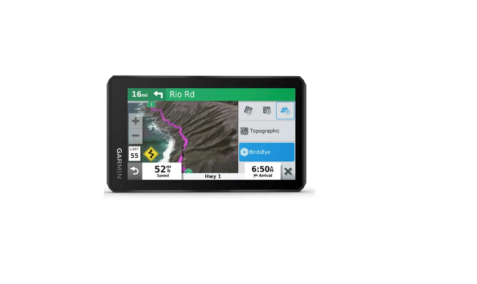
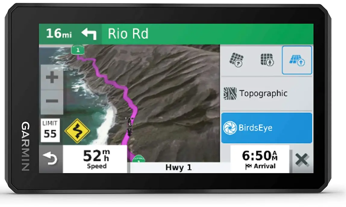
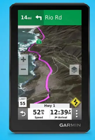
- Switch from North America street maps to topographic maps to BirdsEye Satellite Imagery with just a tap.
- Track recorder remembers your best rides, so you don’t have to.
- Keep your edge with rider alerts for hazards, such as sharp curves, along your route.
BIRDSEYE SATELLITE IMAGERY
You’ have access to BirdsEye Satellite Imagery around the World with direct-to-device downloads via Wi-Fi connectivity with no annual subscription.
UN-AND OFF-ROAD
Ride confidently with preloaded off-road topographic maps of North and Central America. See public land boundaries, 4×4 roads and more. Also includes detailed street maps of North America.
SIMPLE MAP SWITCHING
Quickly toggle between on-road maps, topographic maps and BirdsEye Satellite Imagery, so you can always have the perfect map for your ride.
GARMIN ADVENTUROUS ROUTING
Turn straightforward rides into twisting, gnarly adventures by selecting your road preferences.
TRACK RECORDER
Record your route by using the track recorder, and save or share it for future adventures
GROUP RIDE RADIO
The Group Ride Radio accessory (sold separately) can be paired with zumo XT for tracking’ for up to 20 riders in your group. It includes a push-to-talk fist mic so you can talk to your friends during tides. If desired, pair with your helmet or headset (not included) with BLUETOOTH connectivity for hands-free voice communication.
FAQs
It won’t cost you anything to update the maps on the Zumo XT. To simplify the title of our products, we no longer utilize “lifetime” when describing our services.
The XT is substantially brighter than the 595lm and more mobile-like in its ability to alter position and squeeze the screen to modify the size of the image.
The handlebar base of the motorbike mount contains a 1 inch ball.
Yes, this model supports pairing of up to two headsets.
I’m not very proficient with BaseCamp. I merely use it to transfer tracks to and from the GPS. It isn’t particularly user-friendly for route planning, in my opinion. I enjoy the XT a lot. It has an easy-to-read screen that is very bright.
My sunglasses have partial polarization and are made by Harley-Davidson. I have no problems going to the Zumo xt.
Street maps for the United States, Mexico, Canada, Puerto Rico, the U.S. Virgin Islands, the Cayman Islands, and the Bahamas are preloaded on the Zumo XT, along with topographic maps of North and Central America that show public land boundaries, 4×4 highways, and other information.
Yes, it has a high-brightness HD color TFT screen with a white backlight.
The compass feature on this particular model does, in fact, show the direction of travel. Part number 010-12953-01 is for an Automotive Mount Kit.
The zmo XT, Motorcycle Mount Bracket, Handlebar Mount Kit, Motorcycle power cable, USB cable, and documentation are all included in the packaging.
I haven’t tried using it there, but since it has trails for every state I’ve visited, I’m pretty sure it would have SD.
Who did you purchase it from, you ask? It appears that you purchased a piece that was shipped to South America. The most recent maps ought to be available for download.
This device cannot be used to load apps.
The Garmin Zumo XT supports loading and displaying third-party map. IMG files, including OpenStreetMap (OSM), snowmobile, and other off-road maps. This technique requires a Windows PC, and we have the instructions on our 24 Hour Support Center Page.
No. It will provide a connection to a platform akin to InReach where you can share your location with contacts so they can use the link to find out where you are.


